Edited (version 5)
Extract title cartouches from 17th century atlas map
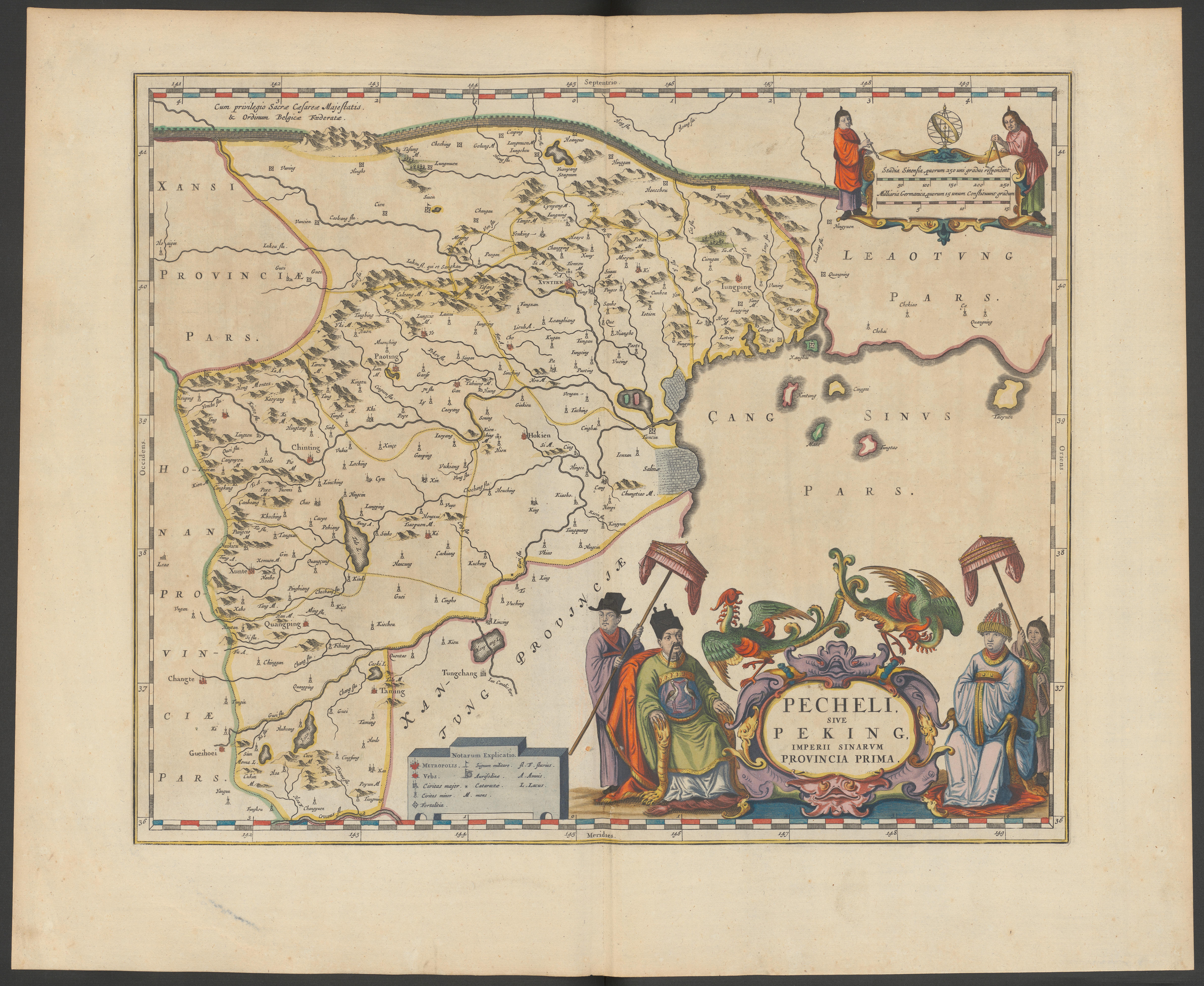
Zentralbibliothek Zürich provides a data set of 17th century maps from the collection “Magnificent Atlases” with title cartouches. These maps contain title cartouches and other figurative representations that may express stereotypical views about the ethnic or population groups depicted. Can you identify and/or extract the image regions containing those representations? And maybe even identify the characteristics of the represented stereotypes and put them into context?
Extract title cartouches from 17th century atlas maps (GLAMhack23 challenge)
Name
Extract title cartouches from 17th century atlas maps
Description
Zentralbibliothek Zürich provides a data set of 17th century maps from the collection “Magnificent Atlases” with title cartouches. These maps contain title cartouches and other figurative representations that may express stereotypical views about the ethnic or population groups depicted. Can you identify and/or extract the image regions containing those representations? And maybe even identify the characteristics of the represented stereotypes and put them into context?
Example map
 Novus atlas absolutissimus : das ist, Generale Welt-Beschreibung mit allerley schoenen und neuen Land-Carten gezieret. Amstelodami : apud Ioannem Ianßonium, [zwischen 1647 und 1664]. Zentralbibliothek Zürich. , T 14-24 https://doi.org/10.3931/e-rara-90241 /
Example result
The result of the challenge could, for instance, be an Exhibit of IIIF resources, enabling historians to describe the title cartouches and create a story around them. Here's a minimalistic example: https://www.exhibit.so/exhibits/2GNKLKzamU322q7VIClc.
Event finish
Start
Joined the team
Repository updated
Challenge shared
Tap here to review.
Creating decolonial Wikimedia page for human exhibitions in 1896 Geneva.
GLAMhack 2023
Indigenous Peoples in museum catalogs

