
Mapping the Central Swiss Geographical and Commercial Society

Baseline
The project scope is to enrich a dataset on Wikimedia Commons – containing 2'755 photographs – with structured data of place names and geospatial metadata to gain new insights and visualization possibilities.
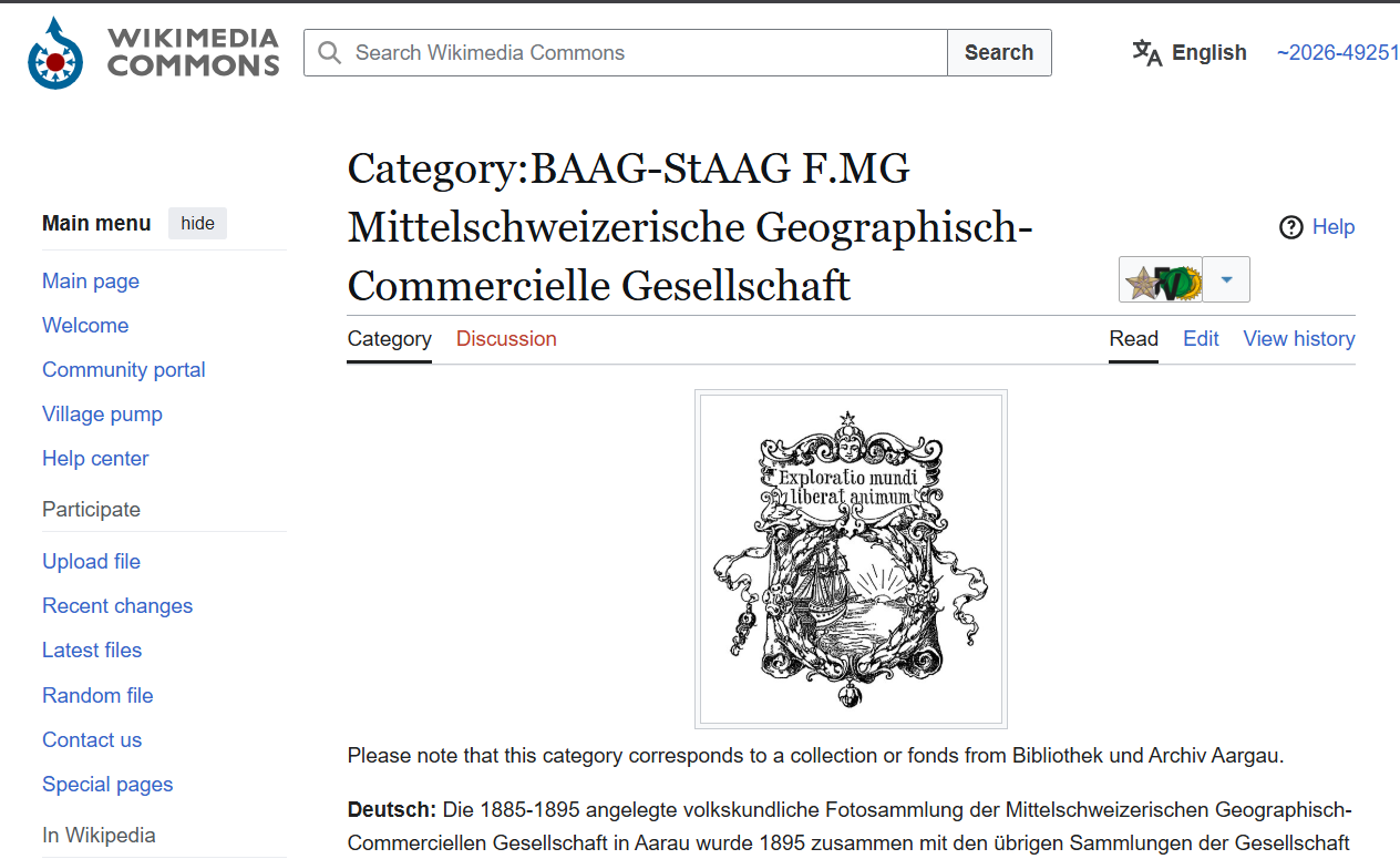
Bibliothek und Archiv Aargau uploaded most of the photographs from the Collection of the "Mittelschweizerische Geographisch-Commercielle Gesellschaft" (Central Swiss Geographical and Commercial Society), which was active in Aarau between 1884 and 1905, in Wikimedia Commons: https://commons.wikimedia.org/wiki/Category:BAAG-StAAG_F.MG_Mittelschweizerische_Geographisch-Commercielle_Gesellschaft. The metadata uploaded come from the archive information system of the State Archive. Folder and file names, as well as descriptions include information about the location depicted.
The primary goal is to acquire structured data with place names and geospatial data for the depicted places to create a vizualisation of the activity and interests of the Central Swiss Geographical and Commercial Society, such as display on a map. All of this should help to provide better search options for users.
Pains
- The metadata lack systematic structured place names and geospatial metadata.
- There may be incorrect information in the metadata, e.g. https://commons.wikimedia.org/wiki/File:BAAG-StAAG_Florenz-1895_F.MG-0513.tif
- Some geographical names are historic and not used anymore.
Goals
- Add structured data with place names and geospatial data to the existing metadata on Wikimedia Commons (e.g. by from wikidata.org or openstreetmap.org).
- Assure the quality of acquired data.
- Documentation of process and challenges.
- Use enhanced data to create a world map of the photographs of the collection.
Dataset
All files in the 96 subcategories of the following Wikimedia Commons category: https://commons.wikimedia.org/wiki/Category:BAAG-StAAG_F.MG_Mittelschweizerische_Geographisch-Commercielle_Gesellschaft
Previous
GLAMhack 2026
Next project